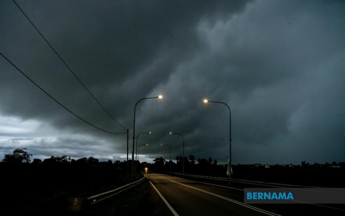
Residents across a wide swathe of Malaysia have been put on alert as the Malaysian Meteorological Department issued an urgent weather advisory covering thunderstorms, intense rainfall and dangerous wind gusts affecting multiple regions through to 1 am on June 19. The warning encompasses vulnerable districts in Peninsular Malaysia, Sarawak, Sabah and the federal territory of Labuan, signalling a significant atmospheric disturbance moving across the country's eastern and northern corridors.
In Peninsular Malaysia, the affected areas span Kedah's hinterland districts of Padang Terap, Sik and Baling, where terrain and settlement patterns leave communities particularly exposed to flash flooding during heavy precipitation events. Hulu Perak, stretching into the mountainous interior of the state, similarly faces heightened risk as orographic effects can intensify rainfall in elevated terrain. The northern and east-coast clusters demonstrate a clear pattern, with Kelantan bearing perhaps the heaviest concentration of warnings across Tumpat, Pasir Mas, Jeli, Tanah Merah and Kuala Krai—districts that have historically experienced serious flooding during monsoon-adjacent weather systems. Pahang's Jerantut area, situated along major river systems, also presents significant hydrological vulnerability during such conditions.
East Malaysia faces the most extensive alert footprint. Sarawak's warnings blanket the entire economic and population spine of the state, from the capital region of Kuching and surrounding towns of Serian and Samarahan through the mid-river communities of Sri Aman, Kapit and Sibu, extending to the industrial heartland of Bintulu and the northern frontier districts of Miri and Limbang. Betong in the south and peripheral areas including Julau, Kanowit, Selangau, Bukit Mabong and Marudi are also flagged for hazardous conditions. This comprehensive coverage reflects the intensity of the weather system affecting the state.
Sabah's vulnerable zones cluster around three regions: the interior settlement of Kuala Penyu on the west coast region, coastal communities Putatan and Ranau positioned near Mount Kinabalu, and the eastern sandakan division encompassing Telupid and Beluran. The federal territory of Labuan, situated offshore between Sabah and Sarawak, has also been incorporated into the advisory, reflecting the system's maritime scope.
Thunderstorm warnings of this magnitude require serious preparedness measures, particularly for residents in flood-prone areas. Heavy rain accompanying such systems can overwhelm drainage infrastructure and trigger rapid water accumulation in low-lying neighborhoods, while strong winds present hazards for structures with compromised roofing or those located in exposed positions. Communities are typically advised to secure loose outdoor objects, monitor water levels in nearby drains and waterways, and remain indoors during the worst of the conditions.
The geographic distribution of this warning—spanning from the peninsula's northwest corner through to Sarawak's southern border and encompassing Sabah's western flanks—suggests a substantial weather system traversing multiple climate zones simultaneously. Such widespread alerts are not uncommon during transition periods between monsoon seasons, when atmospheric dynamics create conditions favorable for severe convective activity across expansive regions.
For populations in these areas, the overnight timeline of the warning presents particular concerns. Darkness complicates visibility during potential emergencies and makes rescue operations more difficult should flooding occur. Families living near river systems or in areas with limited drainage should consider moving to higher ground preemptively if confident in evacuation routes. Local authorities typically activate emergency operations centers during such periods to coordinate responses and assist displaced residents.
The Malaysian Meteorological Department's issuance of specific district-level alerts reflects an increasingly granular approach to weather forecasting in Malaysia, enabling targeted public communication rather than broad state-level warnings. This precision helps residents distinguish between zones of genuine threat and those experiencing calmer conditions, improving the efficiency of emergency responses and reducing unnecessary alarm among unaffected populations.
Persons planning travel during this period in the affected regions should seriously reconsider, as thunderstorms create hazardous driving conditions with sudden wind gusts, reduced visibility and localized flooding across roadways. Commercial and maritime activities may also face disruptions, with airlines potentially experiencing delays and marine operations suspended in worst-affected areas. Power interruptions remain possible if electrical infrastructure sustains wind or lightning damage.
The five-hour warning window provides reasonable time for precautionary measures, though the nocturnal occurrence of peak conditions means that many residents will experience the worst weather while asleep. Maintaining awareness through local media updates and emergency alert systems proves essential, particularly for those in structurally vulnerable homes or isolated areas where self-rescue options are limited should flooding occur.